[rank_math_breadcrumb]
- Home
- Discover Our Districts
- Bagalkote
Bagalkote
Rightly called the laboratory of architecture, Bagalkote is a haven of natural resources like limestone and granite. Located in the northern part of Karnataka, the place provides immense opportunities for the cement industry and for setting up food processing units. With over 67% of the net area under cultivation, Bagalkote is a major producer of crops like cotton and sugarcane. The food processing sector is led by sugar factories and flour mills.
Total Area (sq.km)
6552 sq.km
Literacy Rate(%)
68.82%
Population
18,89,752
Key Geographic Features
- Latitude: 16.181700
- Longitude: 75.695801
- Rainfall: 807 mm
Major Rivers
- Krishna
- Ghataprabha
- Malaprabha
Administrative Divisions (Taluks/Blocks)
Taluks - 09

Economic Snapshot
Gross District Domestic Product (GDDP) (Current Prices)
₹ 39,62,658 lakh
Contribution of Primary Sector (%)
21.43%
Contribution of Secondary Sector (%)
30.91%
Contribution of Tertiary Sector (%)
Higher than Karnataka
Major Industries
- Food Crops
- Cash Crops
- Sugar Factories
- Horticulture Crops
Key Exports
- The key exports of Bagalkot are Granite slabs, grapes, bananas, pomegranates, and papaya
Agriculture & Natural Resources
Major Agricultural Products
Crops
- Maize
- Jowar
- Wheat
Fruits
- Pomegranates
- Bananas
- Grapes
Vegetables
- Onion
- Brinjal
- Tomato
Major Livestock
- Sheep
- Cattle
- Poultry
Important Natural Resources
Minerals
- Granites
- Dolomite
Water Bodies
- Alamatti Dam
- Rivers
Industrial Profile
Number of Small-Scale Industries
- Small - 22232
Number of Large Scale Industries
24
Key Industrial Areas
- KIADB
- KSSIDC
- Green Food Park
Major Industrial Sectors
- Sugar
- Cement
Infrastructure & Connectivity
Major Highways
- Hubli-Vijayapur
- Hunagund - Belagavi
Rail Routes
Routes
- Bagalkote-Hubli
- Bagalkote-Kudachi
Airports
-
Sea Ports
-
Power Supply (Domestic Consumption)
- 149.30 Million units
Power Supply (Industrial Consumption)
- 462.63 Million units
Water Supply Systems
- Piped water
Upcoming Infrastructure Projects
- Residential 3rd Phase for Rehabilitation of submerged wards of Bagalkot
- National Highway NH748A connecting Hyderabad Panaji
Social Infrastructure
Educational Institutions
- Schools - 2224
- Colleges - 161
- Polytechnics - 09
- Universities - 01
Healthcare Facilities
- Hospitals : 832
- Health Centres: 289
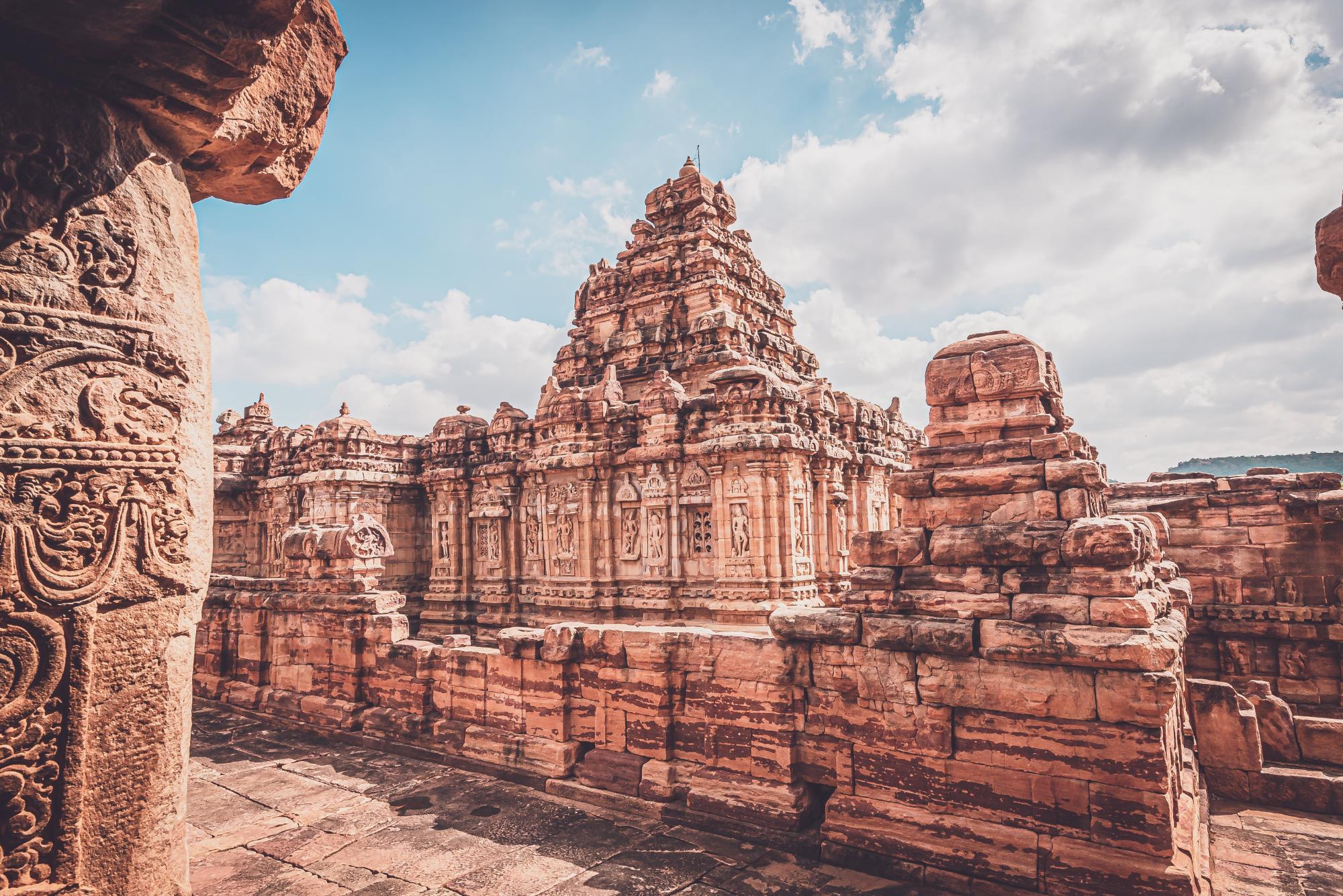
Key Tourism Sites and Cultural Landmarks
- Aihole
- Badami
- Pattadakallu
- Koodalasangam
Investment Opportunities
Ongoing Projects
- Residential 3rd Phase for Rehabilitation of submerged wards of Bagalkot
Planned Projects
- National Highway NH748A connecting Hyderabad Panaji
Government Initiatives to Promote Industrial Growth
- Identified land parcel to establish an industrial estate
Contact Information
DIC Office
- District Industries Centre, Bagalkote
Phone Number
Email Address


